Charts and data installed before flight.
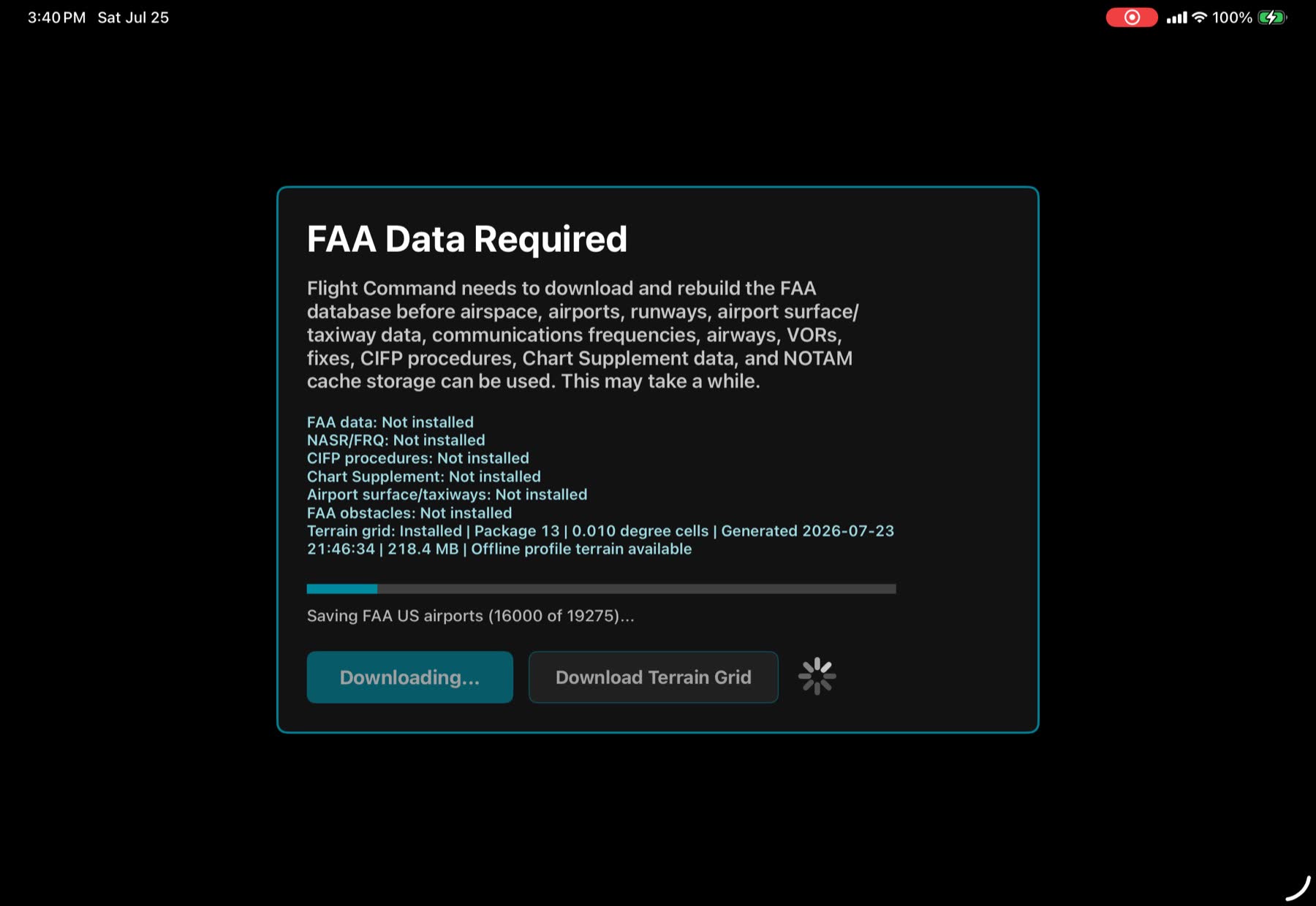
VFR charts, IFR charts, procedures, FAA data, terrain, and airport diagrams are designed to be downloaded before departure and used without internet.
Native iPad EFB · Limited release target September 2026
A focused, offline-first flight companion for pilots who want charting, terrain, performance, airport diagrams, and approach awareness organized around real cockpit decisions.

Built for the iPad cockpit
Flight Command is not trying to be every aviation service at once. It is being built to make the next cockpit decision easier to see, verify, and act on.
VFR charts, IFR charts, procedures, FAA data, terrain, and airport diagrams are designed to be downloaded before departure and used without internet.
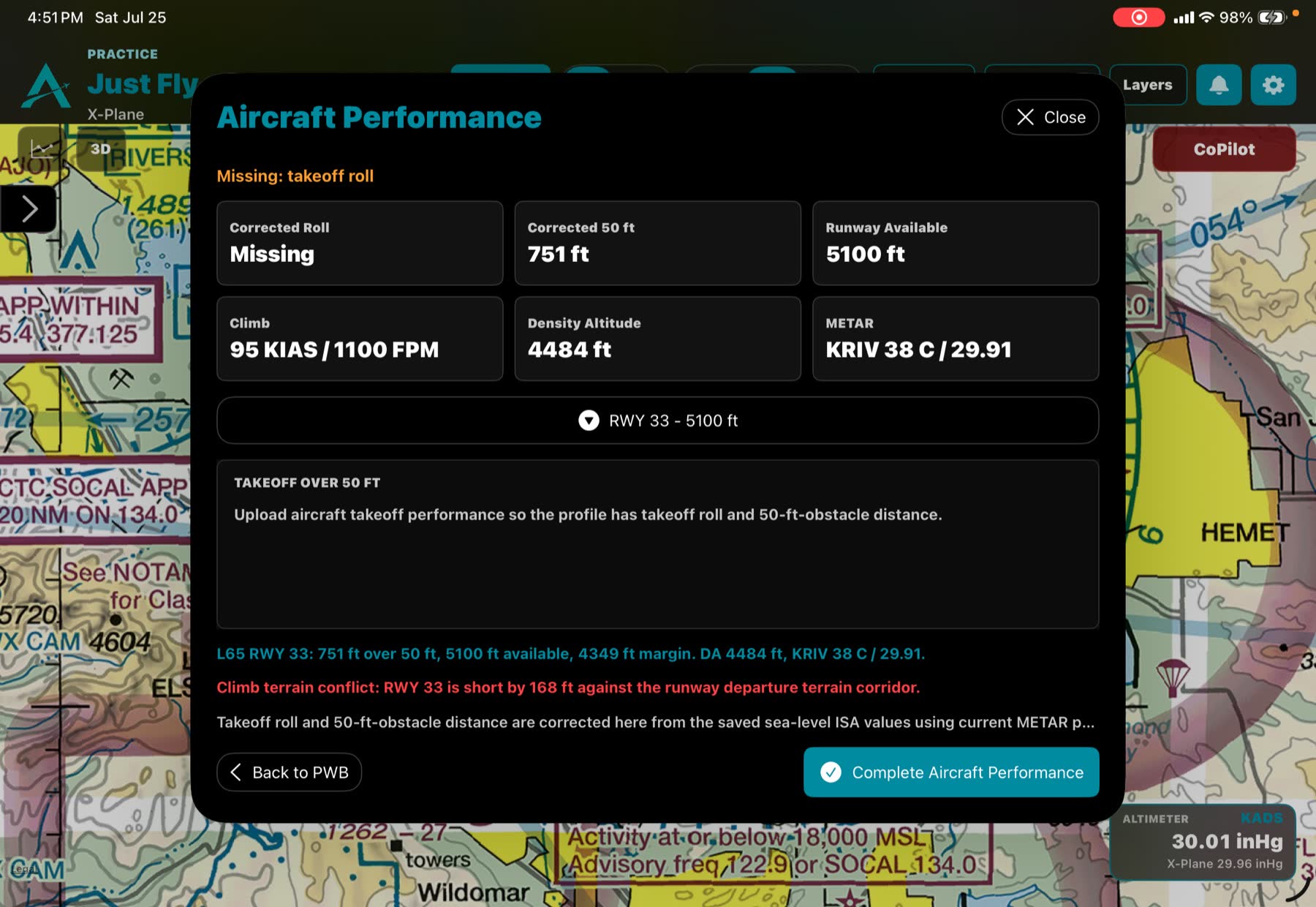
Terrain profiles and 3D views are tied to aircraft position, speed, altitude, and performance logic so margins are easier to understand.
Georeferenced procedure work is being generated server-side so the iPad can display overlays while avoiding unsafe chart placements.
Real app screenshots
Flight Command brings route planning, FAA data setup, takeoff performance, and chart awareness into a single visual workflow.
Compared with other EFBs
Those are mature, broad EFB ecosystems with deep feature sets. Flight Command is taking a different lane: a leaner, owner-pilot focused app that emphasizes offline data, terrain/performance awareness, and server-prepared chart overlays.
Flight Command is supplemental aviation software. Pilots remain responsible for required FAA publications, aircraft manuals, weather decisions, and all regulatory requirements.
Limited release
Flight Command is moving toward a limited release after feature work freezes and testing focuses on reliability, chart installs, airplane-mode behavior, terrain warnings, airport diagrams, and approach overlays.
Follow the ReleaseStay in the loop
Get occasional updates as Flight Command moves through testing, limited release preparation, feature polish, and App Store readiness.